Real-time weather, tide, flow, flood and sewage overflow data for 26.7 miles of navigable water running through the heart of the Tees Valley — from the tidal barrage down through Stockton, Thornaby and out to Teesport.
The high/low times and heights marked on this curve are real tide predictions from Storm Glass, refreshed once a day. The curve between those points is this site's own smooth interpolation rather than a second data source, to keep within a tight daily request limit — it looks essentially identical to a full prediction for a normal tide. For anything requiring an accurate margin, use proper tide tables.
Northumbrian Water Event Duration Monitor (EDM) data for storm overflows on the Tees from Yarm. Only overflows that are discharging now or were active in the last 48 hours are listed here — an empty list is the normal, good state, not a sign the check has failed. This is near real-time and unverified — a monitor reading active doesn't always mean a confirmed discharge reached the water, and it isn't a water-quality measurement. Always check the live map yourself before you get in, and never enter the water within 48 hours of heavy rain regardless of what this shows.
Notices and stoppages for Tees waterways, mirrored via canalmaps.co.uk (a community CRT notices mirror, not this site or CRT itself — refreshed periodically rather than instantly). For the definitive, official version always check the Trust's own page.
The Barrage controls the tidal limit and is managed by the Canal & River Trust, who run the telemetry above. Conditions change quickly after rain upstream — check the live gauge before heading out.
Open the live CRT gauge ↗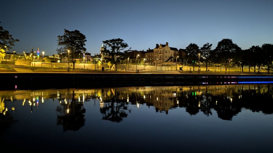
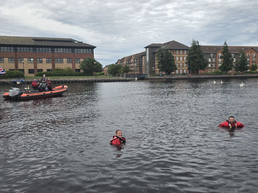
Open water swimming can be done safely: check conditions first, swim with others, acclimatise gradually, and know your exit points before you start.
Read our water safety advice